Map sources for ATAK
Install any map into ATAK in one tap.
A curated, open collection of 40 map and imagery sources — satellite, topographic, nautical, trail and more. Scan a QR code or tap Add to ATAK; no manual file wrangling. ATAK 5.1+.
Curated sources
Satellite, topographic, street, nautical, cycling and thematic overlays — validated and kept live.
Zero setup
Every map has a QR code and an Add to ATAK link that installs it directly on the device.
Or all at once
Install the entire set as a single ATAK data package — kept in the Mission Package Tool so it is easy to remove.
Install the whole set
One package, every map
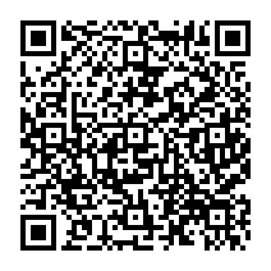
Tap the button on your ATAK device, or scan the code from another device. Imports a data package with all 40 sources.
Add all 40 maps to ATAKKept after import — remove everything later by deleting the package in ATAK’s Mission Package Tool.
Explore
- Browse every map — filter by style, scan or tap to install.
- Installation guide — manual install and troubleshooting.
- Map Tips — GRG overlays, imagery scaling and OpenSeaMap.
- Create your own — the MOBAC XML format, explained.
Prefer a manual install? Download the raw bundle and side-load it.